Twitter
Vimeo
Rss
Contact Us
News
Login
Home
About Us
Who We Are
What We Do
Our Mission & Vision
Our Projects
Current Projects
Completed Projects
Partnered Projects
For You
Publications
References for Decision Makers
Knowledge Sharing Tools & Resources
Complete Resource Library
News & Media
News
Multimedia Gallery
Working With Us
Our Team
Contact Us
Search
Menu
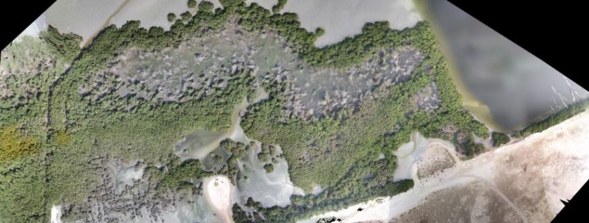
Video: UAV 3D Modeling of Mangroves
You are here:
Home
/
Knowledge Sharing Tools & Resources
/
Video: UAV 3D Modeling of Mangroves
Video: UAV 3D Mapping of UAE Mangroves (2411 downloads )
Video: UAV 3D Mapping of UAE Mangroves (2411 downloads )
Virtual Mangroves Tour
Technical Report: Abu Dhabi Blue Carbon Baseline Carbon Assessment
Scroll to top
 Technical Report: Abu Dhabi Blue Carbon Baseline Carbon Assessment