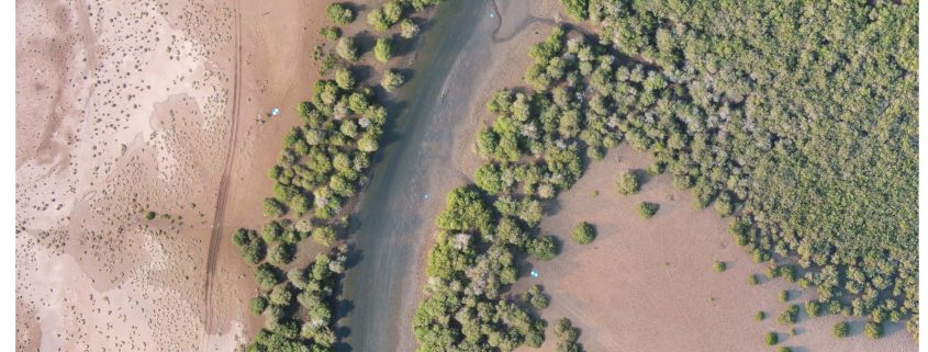
The purpose of this report is to enable others to continue research using unmanned aerial vehicle (drone) mapping technologies for environmental assessments. The methodology section of this report focuses on assessing the viability of using volume calculations from drone footage to biomass and blue carbon storage capacity estimates. The same methodology and drone imagery has the possibility of being used for a multiple of environmental assessments, including:
Land use change
Water distribution
Payments for Ecosystem Service (PES) Assessments
State of the Environment (SOE) Assessments
Habitat Mapping / Management

